
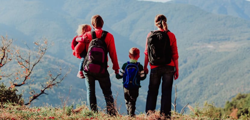
Image | Rural getaway
One of the simplest routes to start children in hiking is the Ruta del Ferro in Andorra. It is so accessible that it can be recommended to anyone regardless of age or physical condition.
The name of this route refers to the importance of the iron trade for the Principality of Andorra, in general, and the parish of Ordino, in particular, during the seventeenth and nineteenth centuries. It is, therefore, a route that reveals to us the weight of the metallurgical activity in this territory together with the beautiful Andorran landscapes.
The Ferro Route
The Andorra itinerary is actually a cultural and natural route that extends to other places in the Pyrenees, such as Catalonia, Aquitaine, Ariège, Vizcaya and Guipúzcoa. Thanks to its interest, to the fact that it is suitable for all audiences and to the collaboration between countries, in 2004 the Ruta del Ferro received the honorable mention of the Council of Europe.
Route of the Ral Path
In order for you to do the Ferro Route as a family, we propose the route of the Ral Path, between the towns of La Cortinada and Llorts, which is done easily, with hardly any unevenness and enjoying some pleasantdable views.
The Ferro Route begins next to the Llorts Mine car park, where cars can be parked. Both the downhill path that we will take to La Cortinada and the mine are right next to the parking lot.
This mine was once very relevant for the residents of these mountain villages. In summer, visitors are offered the possibility of taking a guided tour inside the mine as well as discovering the permanent exhibition of contemporary sculptures called Camino de los Trajinantes as well as the possibility of walking the path of the Iron Men.
Along with the Sedomet and Ransol mines, the Llorts Mine fed the forges in the area, although the latter was only operational for four years due to the small amount of iron found inside.
Taking the path in front of the mine we will find different points marked with numbers that indicate the places of interest on the itinerary.
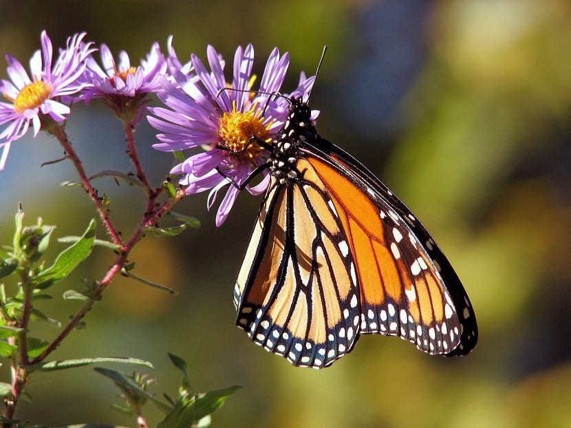
Image | Pixabay
Point 1: It is a metamorphic rock that has traditionally been used to build the roof of the houses in Andorra.
Point 2: It is a natural source with a large amount of iron in its bottom.
Point 3: We are facing a very humid area in which mosses and other small plants abound.
Point 4: On the left is a path that leads to the Bordas de Ensegur. In the old days, people from the villages came up here in the summer with their cattle to pass the season. It is a site with many cabins and grass areas. In addition, in the Ensegur ravine you can practice canyoning.
Point 5: From here you can perfectly study the vegetation of the area
Point 6: it is located a little further down, where the path is protected by stone walls called dry stone walls that served to prevent the entry of cattle in transhumance.
Point 7: We find the Les Moles Bridge, a cross between the Tal road and the one that goes to Llorts. After a few meters walking we will see a meadow with the 7 outdoor sculptures of the Iron Men by the French artist Rachid Khimoune.
Point 8: The railway route continues to descend and to the right is the Puente del Vilaró, next to a rest area. Shortly after, the road passes by a gunwale and by the Vilaró forge, where iron was obtained by direct reduction of the mineral extracted in the mines.
Point 9: After this point, we continue with the descent of the valley between large meadows and leaving different paths on the left that go up towards the Ensegur valley. We can already see the Arans houses in the background on the right. If we continue walking we reach the Arans bridge.
Point 10: As we get closer to La Cortinada, the Valira del Nord river is getting closer and closer. In this area, the water has a reddish color due to the high iron content of the soils it carries. Following the path that passes next to the Mas de Soler mill, we have reached La Cortinada.
Crossing a bridge that leads to the other bank of the River, we arrive at the Cal Pal sawmill and mill, two buildings dating from the XNUMXth and XNUMXth centuries. The Tourist Office offers guided tours during the summer.
Point 11: When crossing the road we come across one of the symbols of the Ordino Valley due to its artistic and cultural wealth: the church of Sant Martí de La Cortinada (1: 00h - 1.330m). The building is linked to the Iron Route because the bars of the main altar and the side chapels are made with iron from the area.
For the return, you have to undo all the way and in about an hour you will be back at the Llorts Mine.
Tips for doing the Ferro Route
- Download a field safety app that allows hikers to send their exact location to rescue teams in an emergency.
- Respect nature: enjoy the countryside and leave it as you found it.
- Drink small amounts frequently. Ration the water to last the entire route.
- If you reach a section that you consider dangerous or that is beyond your possibilities, it is preferable to turn around.
- Check the weather forecast for the place, date and times of departure.