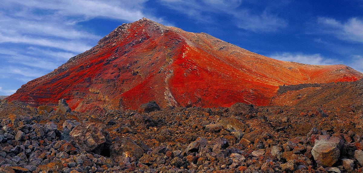
On the Atlantic Ocean is the island of Lanzarote, part of Las Palmas. It is the third most populated island of the Canary Islands and is, in its entirety, Biosphere Reserve. It is known as the island of volcanoes and one of them is, precisely, the so-called Red Mountain.
Lanzarote began to form 15 million years ago, in different stages of strong geological activity, and the events of the distant past have given it the wonders that travelers can enjoy today. For example, this magnificent mountain that is the protagonist of our article today.
Lanzarote
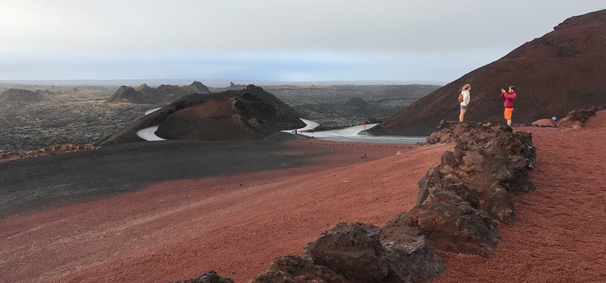
The island of Lanzarote has a subtropical climate sometimes desert other. The temperatures do not vary much during the year and between its land and its climate a particular and beautiful nature has developed that in 1993 has awarded it the title of Biosphere Reserve by the UNESCO.
Lanzarote is unique. If you like the volcanism it's a great destination. There are five interesting places, two mountain massifs, two volcanism areas and an area of marine sands known as El Jable.
the red mountain
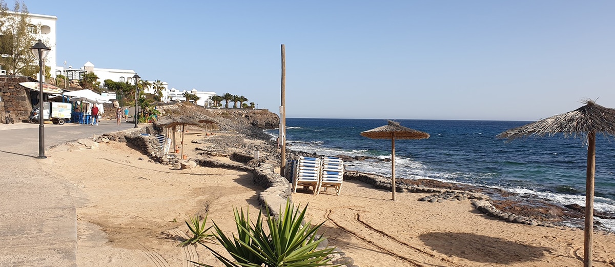
The mountain is located in the area of Playa Blanca and if you like hiking it is what you cannot miss. Of course there are many possible routes on the island, but you can't leave without doing this one. You have the best views here super assured.
the red mountain it is an inactive volcano which is located in the south of the island, at the eastern end of the famous Playa Blanca or Yaiza. It is about 3 kilometers away, if you walk, it will be about 40 minutes, by car just five. The volcano is more or less halfway along the arc of the coast between Punta Limones and Punta Pechiguera.
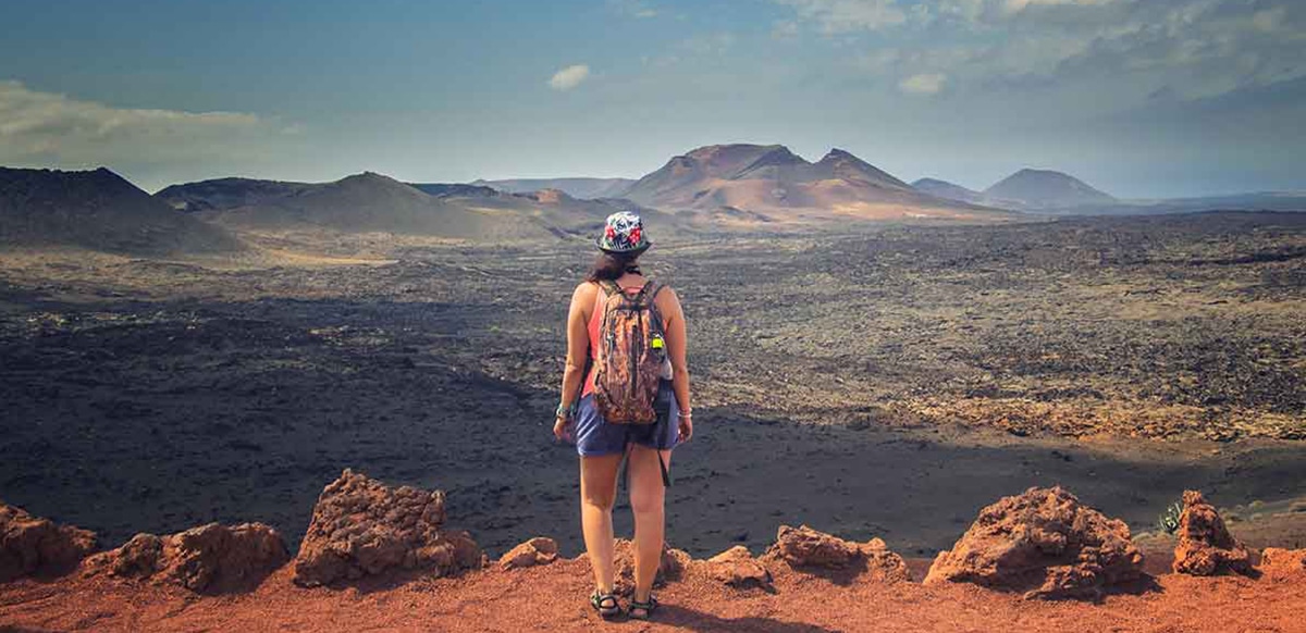
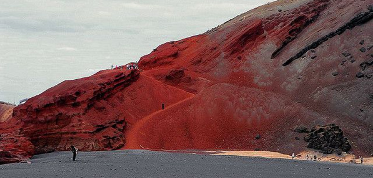
The volcano it is 196 meters high and on its top the crater shows 50 meters deep by 350 in diameter. The land is very red, it almost looks like Mars, and hence the name. The mountain has its legends or stories, too, and there are many related to the appearance of aliens or the practice of satanic rites inside the crater.
Let's talk about the hiking route, then. There are several starting points, but the general advice is not to go up the south slope as it is very slippery, and if it is a windy day, much worse. You can go up from the east side, through the Los Claveles urbanization, with a well-marked path.
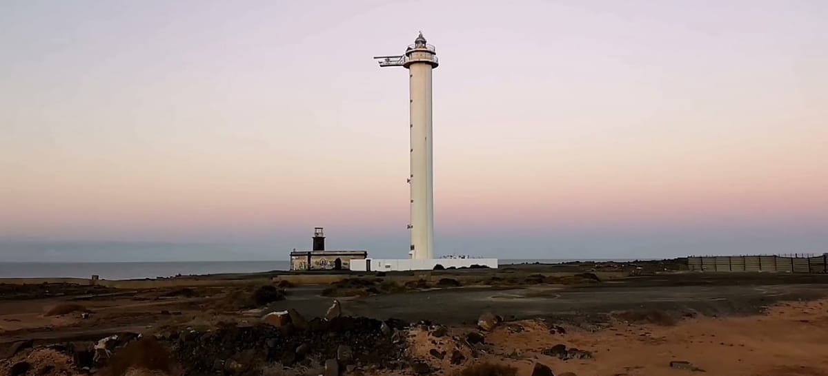
From Playa Blanca you can go up using the Pechiguera Lighthouse road. When you reach the third roundabout, take France Street, turn right towards the lighthouse, and you arrive at the starting point, which is Residencial Virginia Park. The ascent begins here, right where the modern mobile phone antennas are. The path starts there, already at a certain height and with certain views of the island and its surroundings.
Little by little the path begins to climb until completing the route to Meters 196. The views are beautiful and in reality one takes longer due to the number of times you stop to contemplate and take photos or leave your pebble on the milestone that others have been forming before you. Of course, you have to be careful because the ground is loose and there are ashes. The path is kept clean, but it is not necessary to pay attention.
About 600 meters later you arrive at the mouth of the crater, a first formal stop to contemplate the landscape that we leave behind and the one that awaits us there in front. The huge hole is like a magnet. It measures 5 meters deep and has a diameter of 350 meters. It is huge, and if you walk around the circumference you get to cover a kilometer and a half. You see some vegetation in the background, but there is really very little. On the stones there are plenty of inscriptions left by tourists.
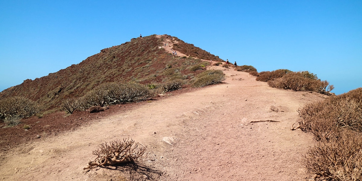
Above all, then, you can either go around the crater or descend to its center or do both. If you choose the first, as we said, the views are great, if you choose to go down it is also easy, more than going up. You find the descent path when you go around the volcano, from the north slope. The background is a super quiet place.
From above Playa Blanca is seen from here like a pearl. Beyond the plain, the Natural Monument of the Ajaches, other peaks. Lanzarote in all its splendor. Playa Blanca dominates the view on this first part of the walk around the crater. At least until we get to the geodesic point. The road is reddish, loose in ash, well marked by thousands of footprints. The perpetually solidified lava remains as anti-fall walls, low promontories that give us some height to improve the angle of our photos.
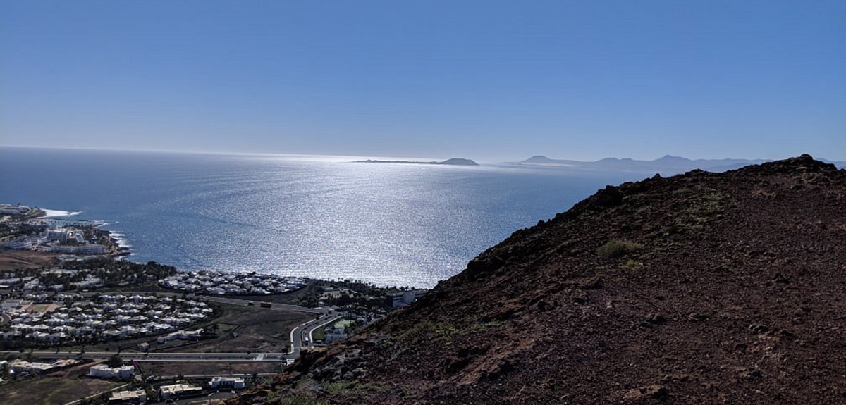
Little by little, other landscapes begin to appear: Punta Pechiguera, Playa de Montaña Roja, the lighthouses, Isla del Lobo, Fuerteventura... The road turns like a snake but we finally reach the geodesic point that is in the highest part of the crater . Red absolutely reigns. The lava rocks are speckled with lichen, they gleam red in the sun.
There at the top one must rest from the walk. Sit, watch. let the wind blow, contemplate the urbanizations of La Goleta, Pechguera, Playa Vista or Shangrila Park, for example. The interior of the crater is full of stones written with messages, legends or drawings left by tourists. There are many and you can block walking a bit. Then, yes, we are ready to start the descent by another path.
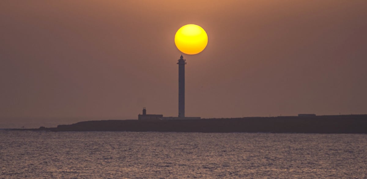
If you don't dare to do this walk alone, you can always sign up for a guided tour. And if you like the idea of watching the sunset from the top, then organize the ascent a little later. The sunset from up here is a wonderful thing. The view of the flat coast towards El Golfo and the Salinas del Janubio is beautiful.
Camping is not allowed on Red Mountain, but you can stay nearby. At your feet is the Sandos Atlantic Gardens. In addition to accommodation, the site offers a complete experience with various activities to connect with the energy of the place. It is a hotel for adults only, in Playa Blanca, with bungalows and swimming pools, surrounded by beautiful gardens.